
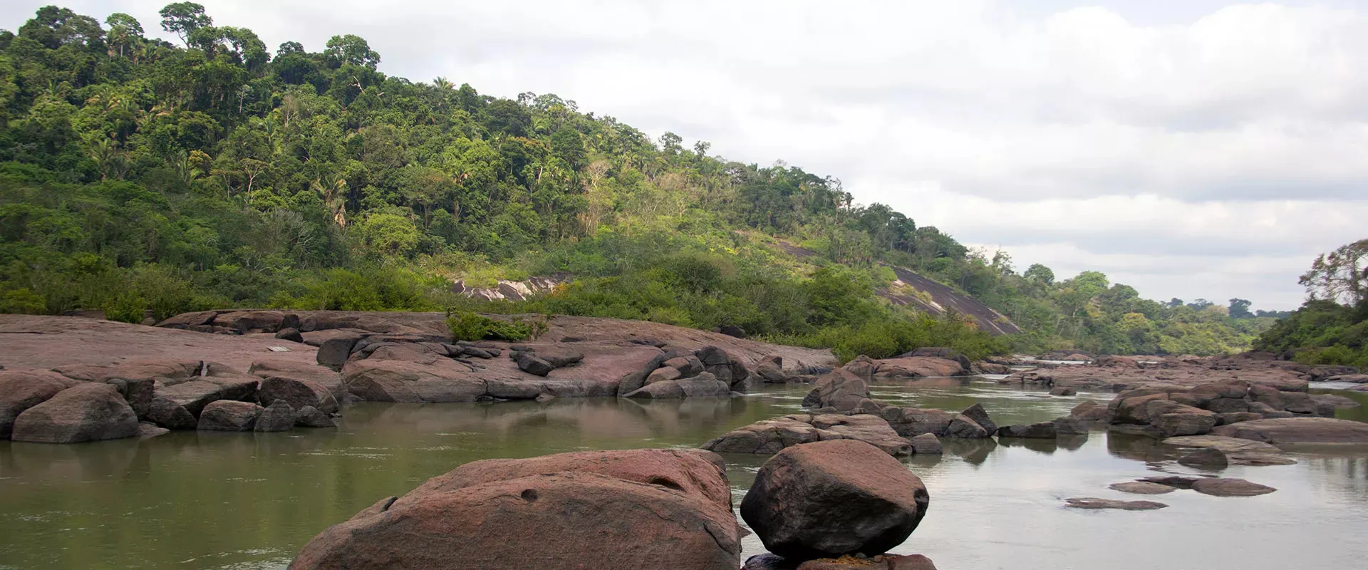
Trincheira Bacajá Indigenous Territory
An Indigenous Territory in the Xingu basin, in Pará, Brazil, crossed by the Bacajá River. Most villages lie along its banks.
Sources: Annex 1 of the Restaura Amazônia project and the Association’s Panorama (2026).
Standing forest, threatened edges
The interior of the Indigenous Territory is preserved. The pressure comes from its surroundings: deforestation, past invasions by loggers, illegal gold mining, land grabbing at the borders and the effects of large infrastructure projects.
The Belo Monte dam changed the river’s flow. The Xikrin say that “the Xingu River holds the Bacajá River”: when the Xingu rises, the Bacajá is full; when it falls, the Bacajá drops with it. In the reduced-flow stretch of the Xingu, floods fell from 80 to 9 days a year, and extreme droughts rose from 45 to 104 days (Revista Pesquisa FAPESP).
The forest provides Brazil nuts, babassu, cacao, açaí, cumaru, andiroba, copaíba and many other resources that sustain the families.
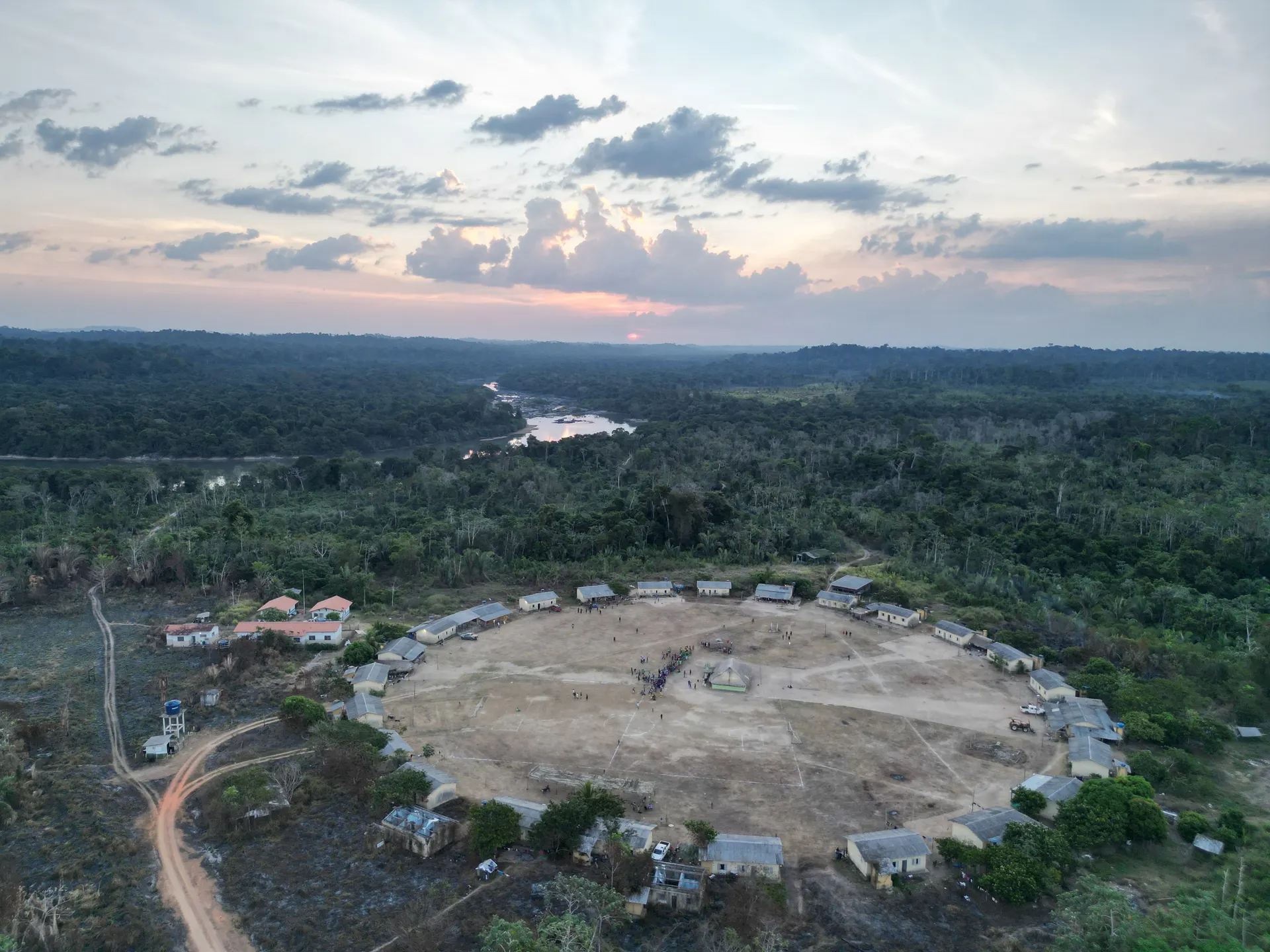
The Indigenous Territory and its villages
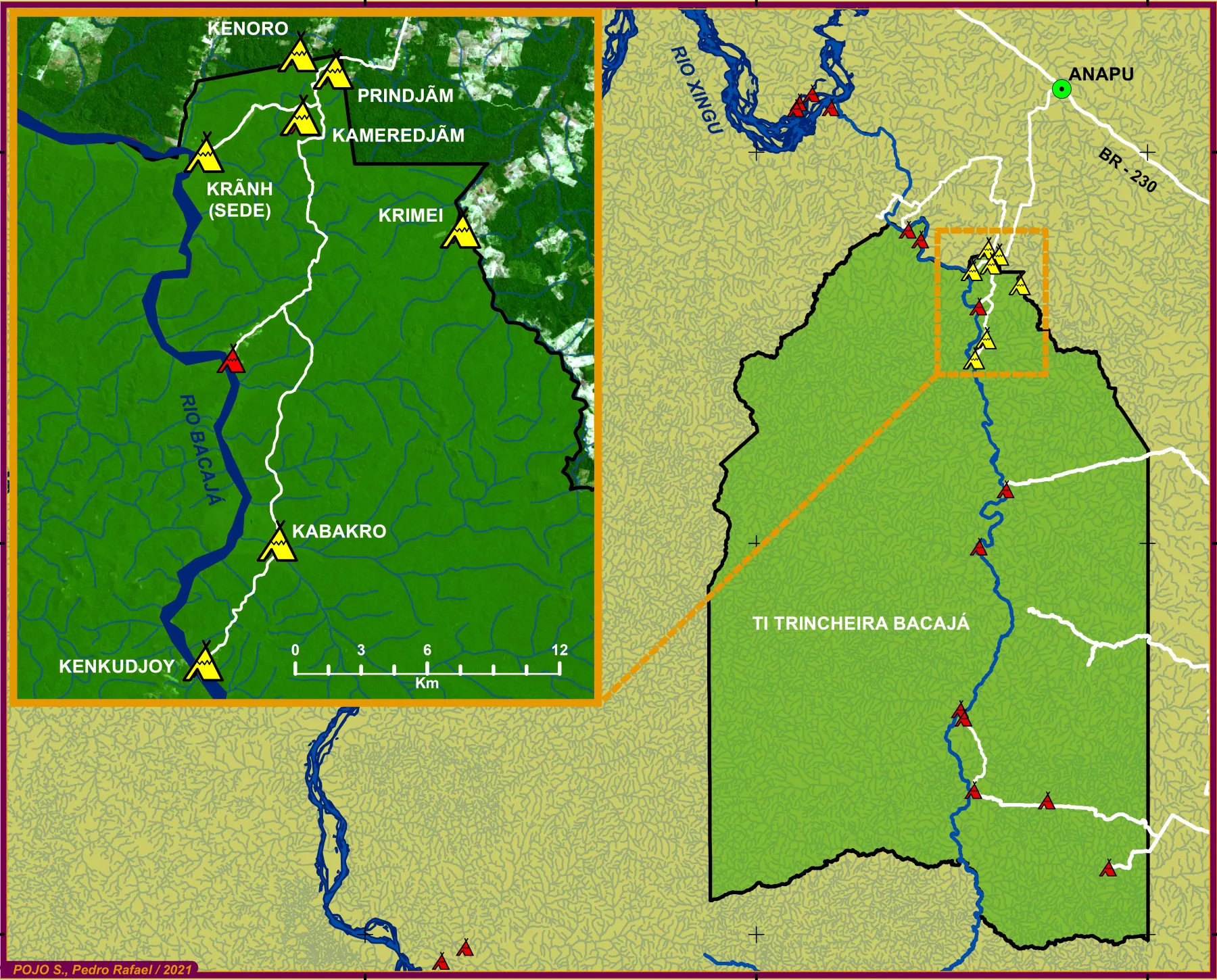
16 villages, one network
Page under construction. Soon, each of the Association’s 16 villages will be listed here with its name, location and photos.
In the meantime, reach us through the contact page.